Proboshtov 1
Proboštov 1
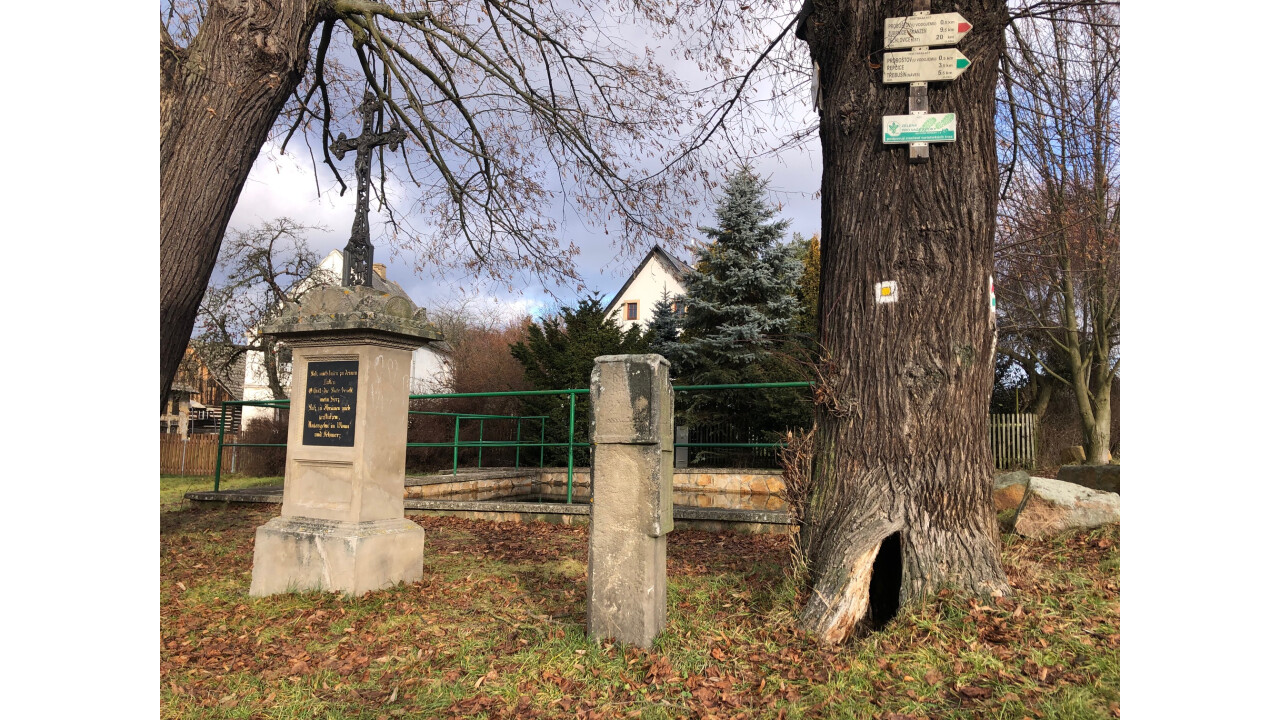
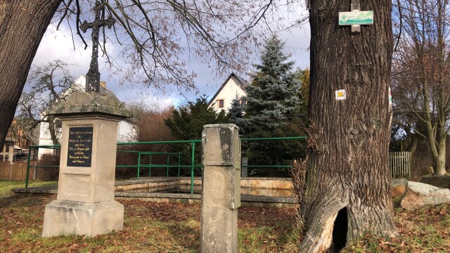
In the southeastern part of the village at the crossroads of roads leading to Lhota pod Pannou, Rýdeč and Tašov.
Taken from the Monument Catalogue of the National Heritage Institute.
Anotation
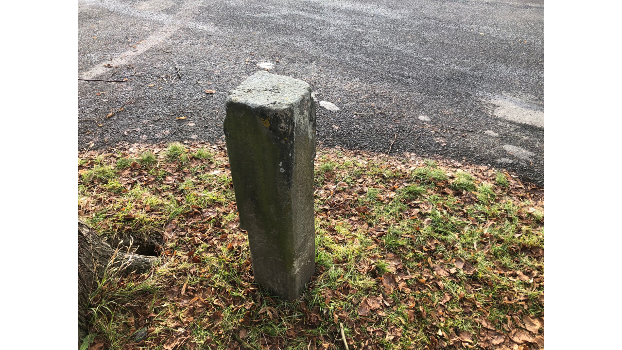
The sandstone milestone from 1864 is located in the southeastern part of the village at the crossroads of the roads leading to Lhota pod Pannou, Rýdeč and Tašov.
Agencies
The bridge dates from 1864. There is a second milestone in the village and together they mark the distance from the starting point in miles.
Description
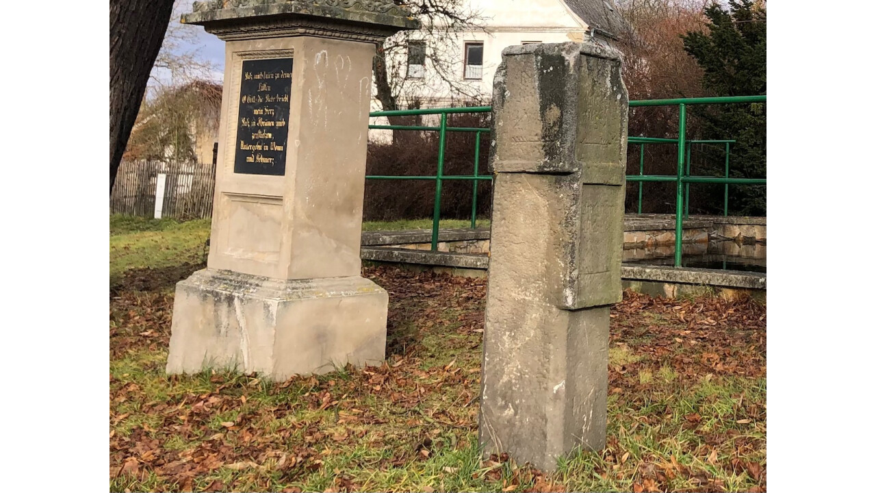
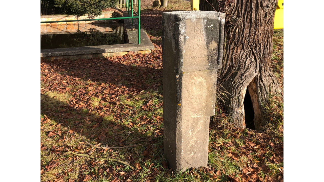
Milník is located in the southeastern part of the village at the junction of the roads leading to Lhota pod Pannou, Rýdeč and Tašov. The sandstone milestone has the shape of a slender block, which has slightly recessed inscription fields on two sides with engraved arrows and Czech-German inscriptions and the distance to the respective village (Tašov, Rýdeč). The inscriptions are bordered by simple protruding frames. The two back sides are smooth.
Description of the heritage value
The milestone is a technical monument of value documenting the period method of marking historical roads in the 19th century and also the distance from the starting point to the given locations.
Material
Sandstone.
50°37'29.054 "N, 14°9'22.457 "E