Proboštov VII
Proboštov VII
Catastral territory
Proboštov
Part of the village
Proboštov
Village
Malečov
Period
Ústí nad Labem
Country
Ústecký
Number/designation
Proboštov VII
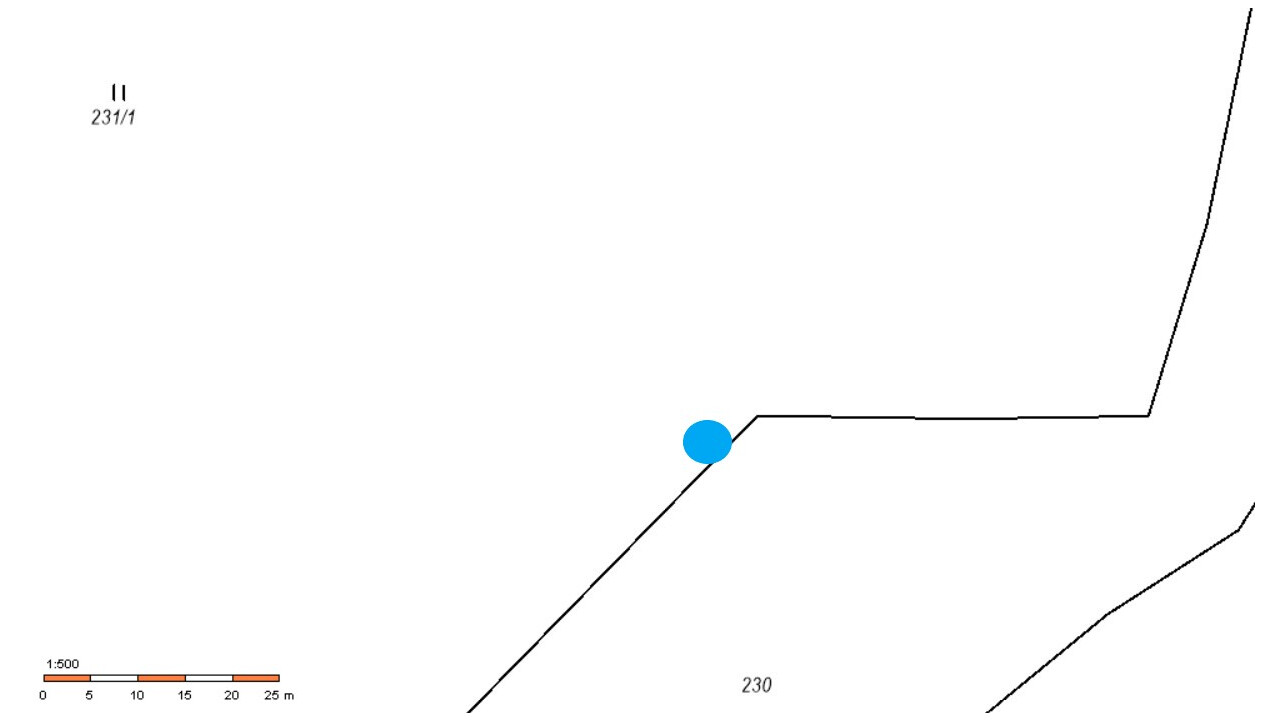
Parcel numbers
231/1
Owner
Barboříková Věra, Barboříková Žaneta, Oravcová Klára
Name (designation) of the monument
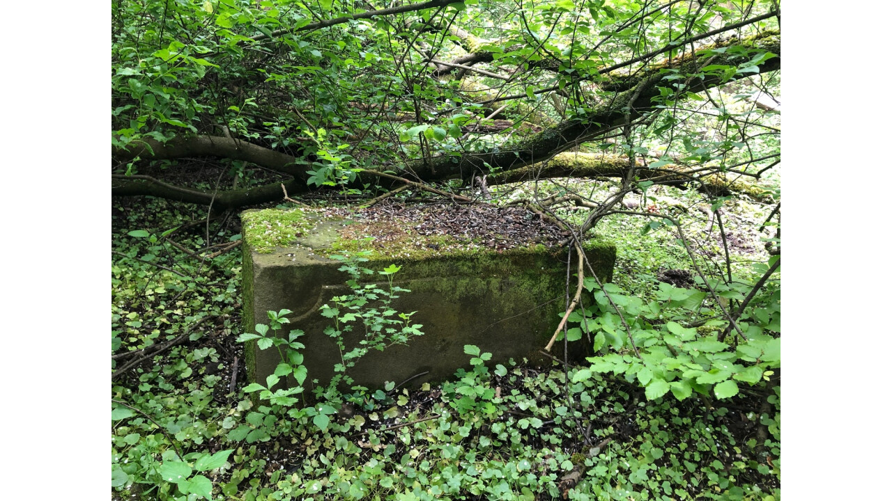
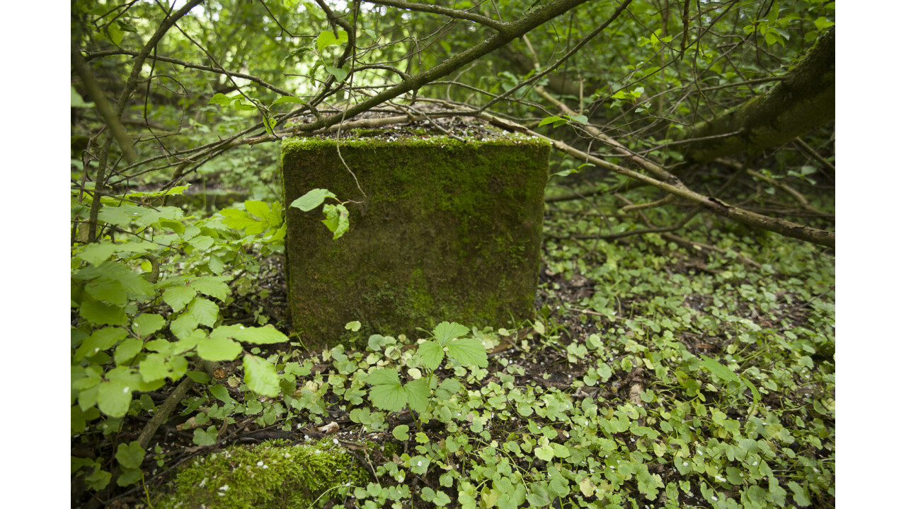
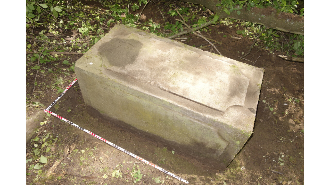
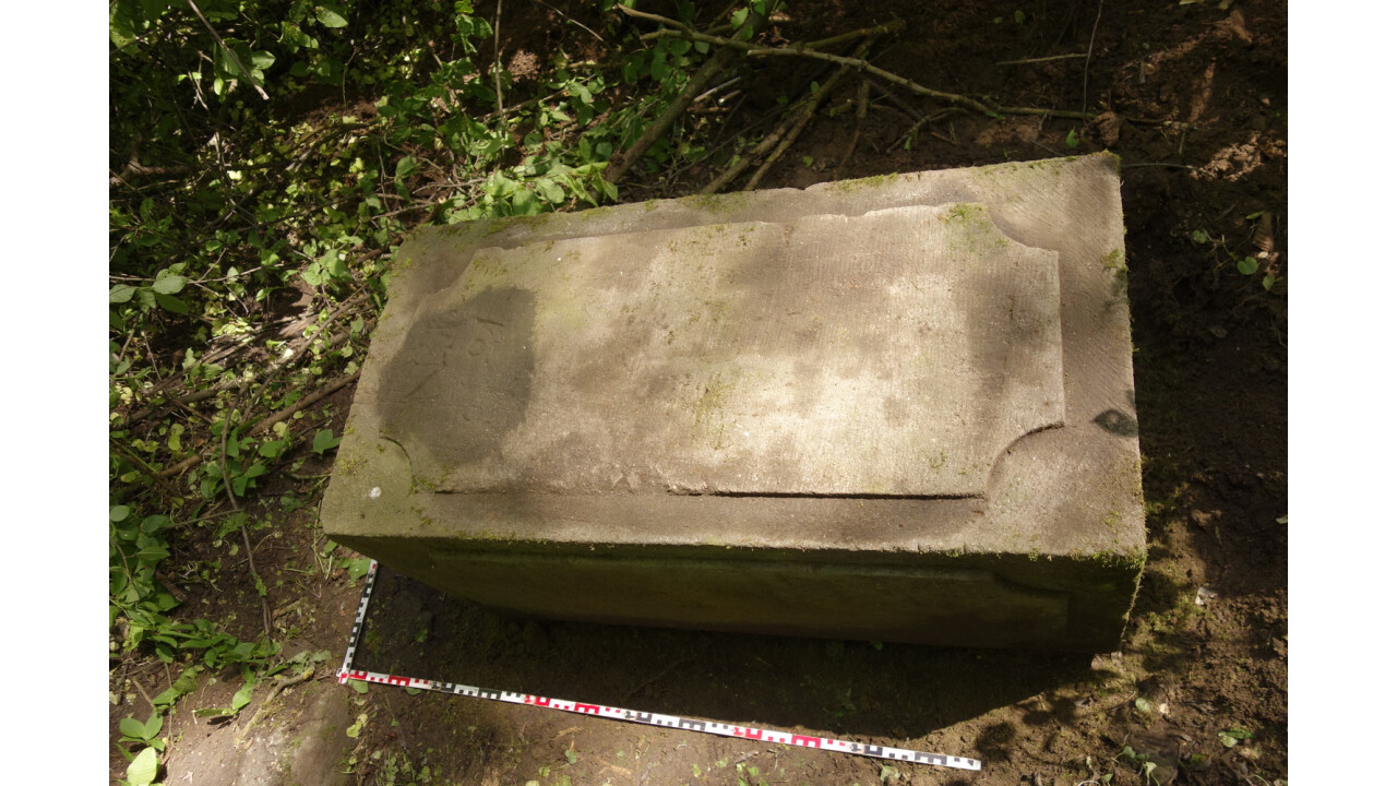
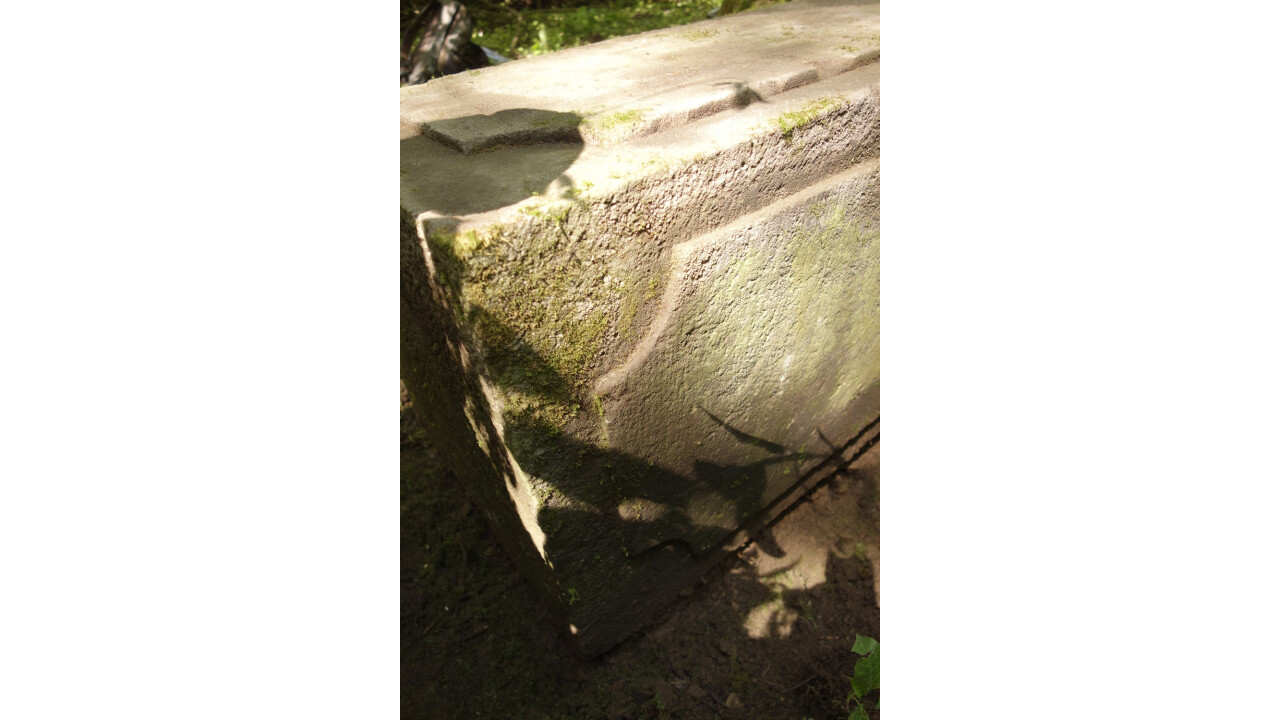
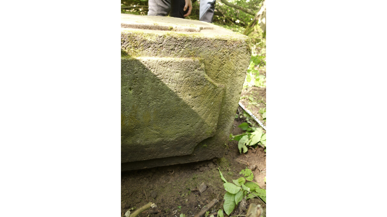
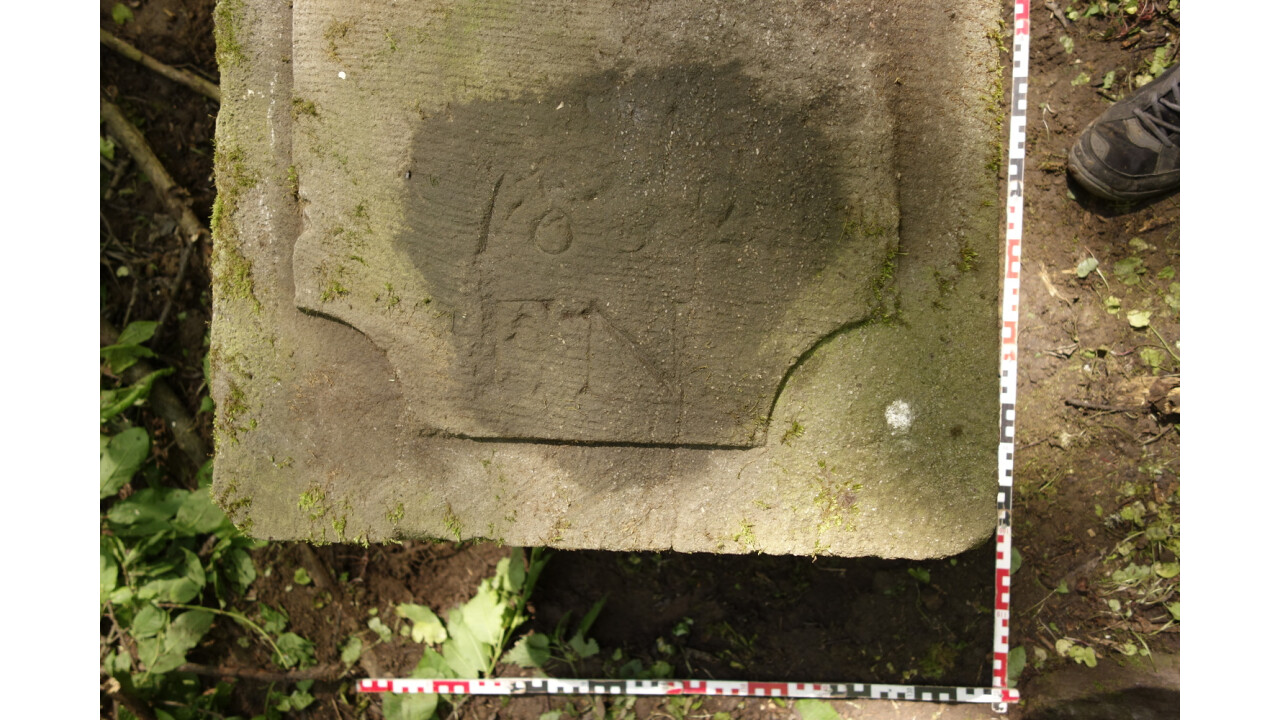
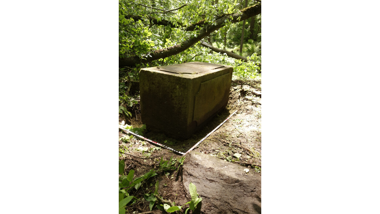
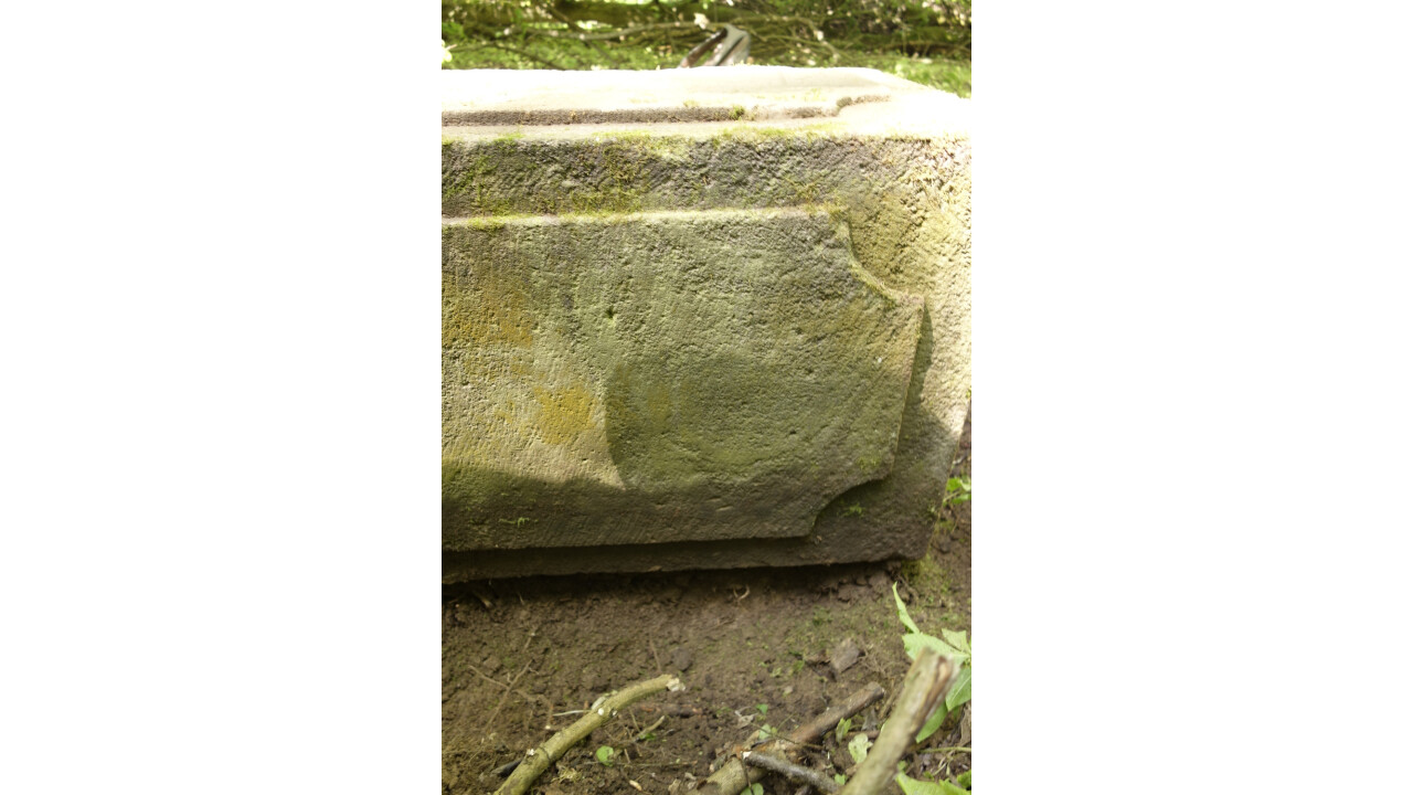
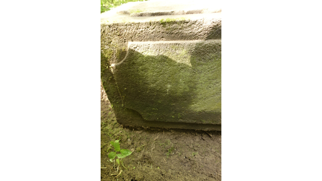
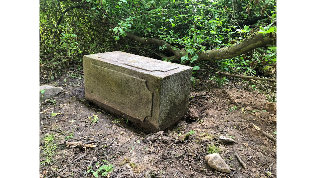
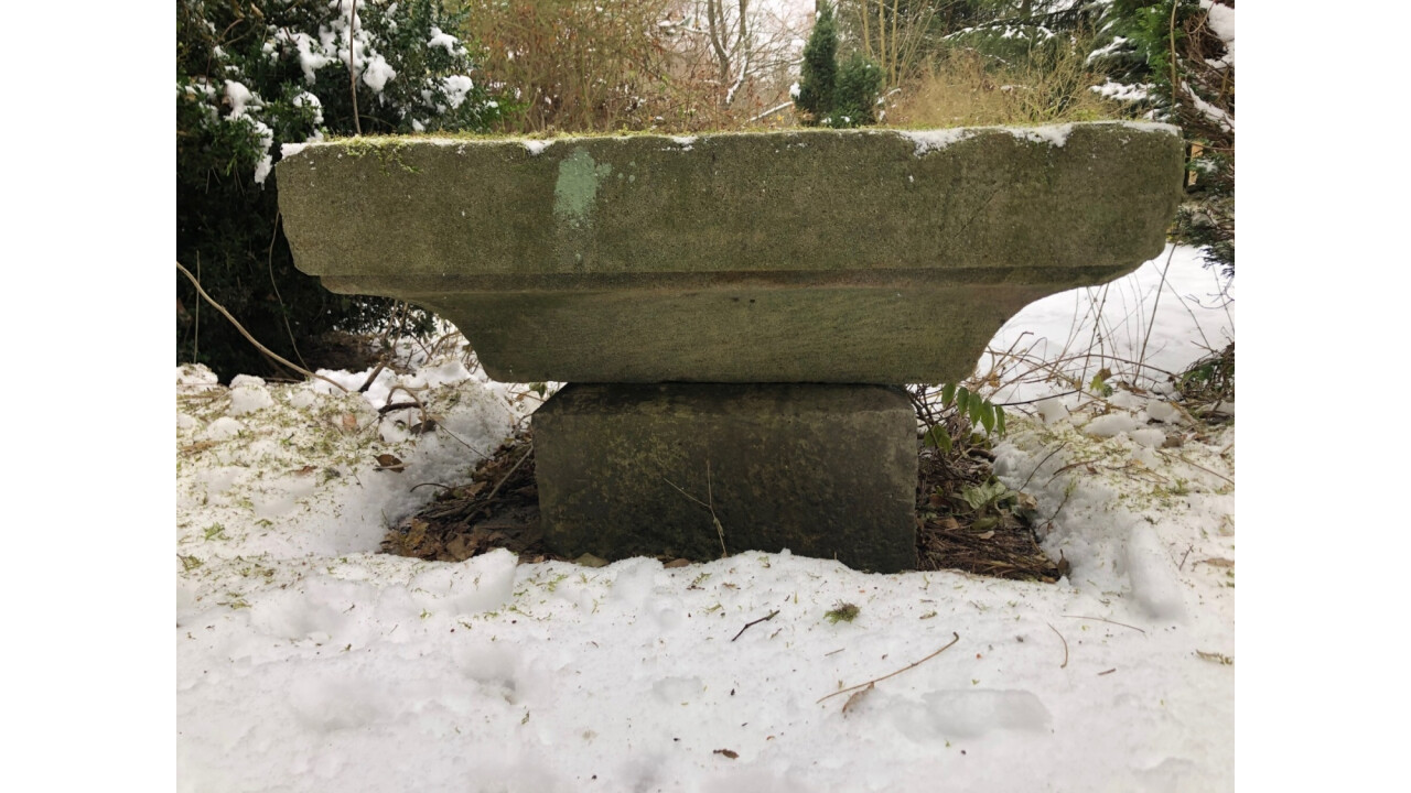
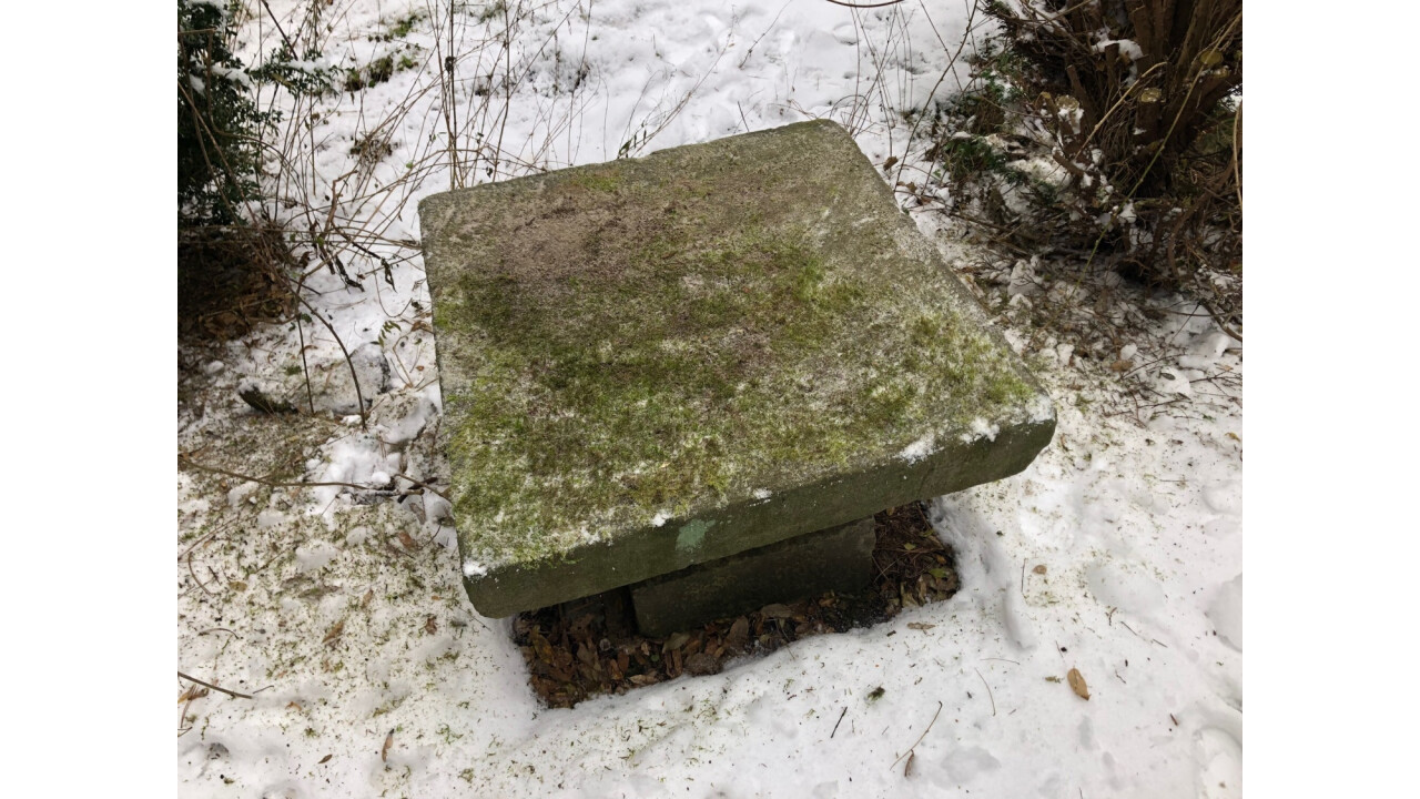
Königs Statue (Königs Statue)
Approval of registration/declaration decision
Part of
Protective zone
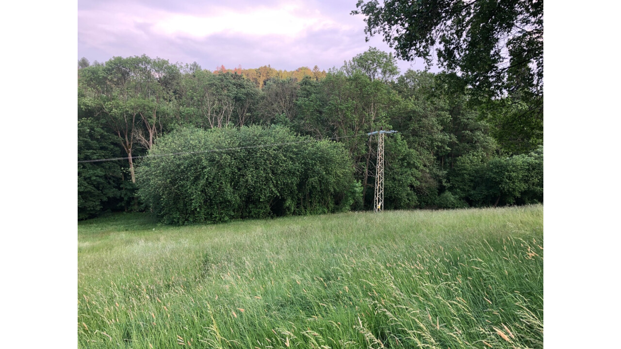
Location of the monument
Descriptive number
not
Registration number
not
Indicative number
not
Stylistic and temporal determination
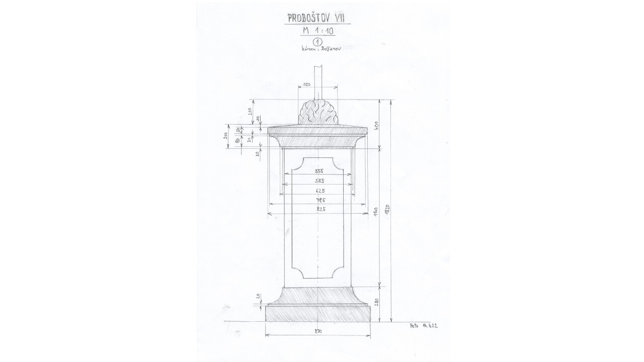
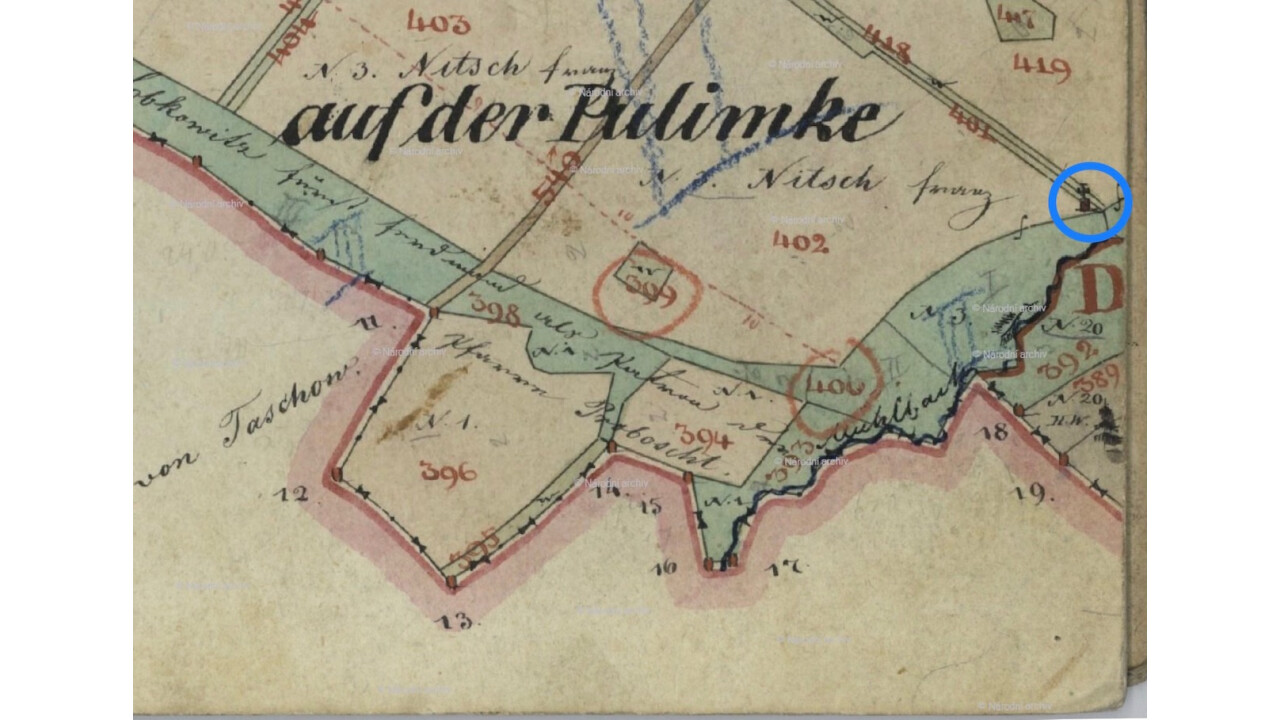
In 1834, the farmer Franz Nitsch, Proboštov 3, had a farmstead established (see Proboštov FÚ Inventory)
Author's designation
Building (functional) type
Code
Identification photo
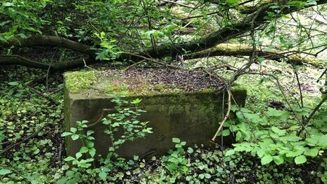
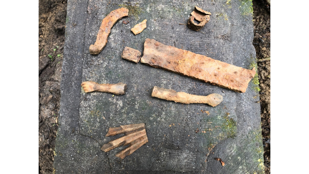
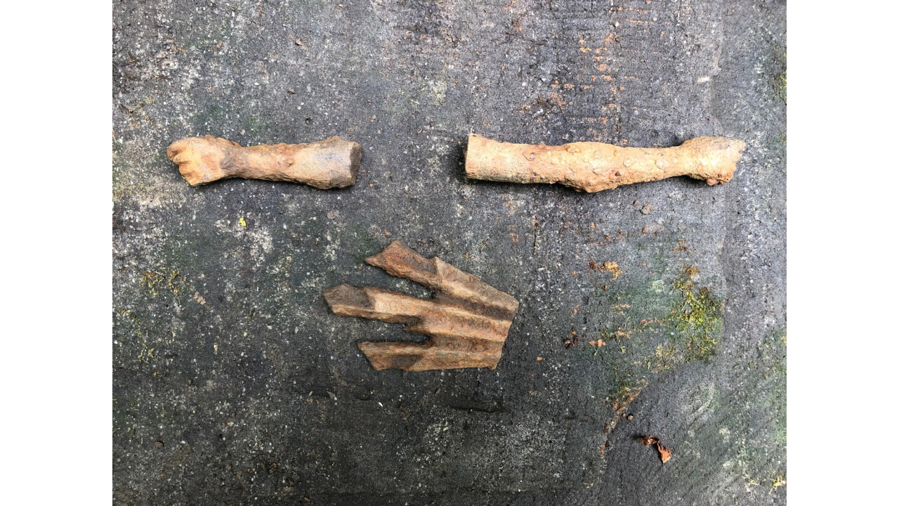
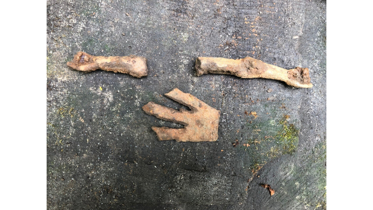
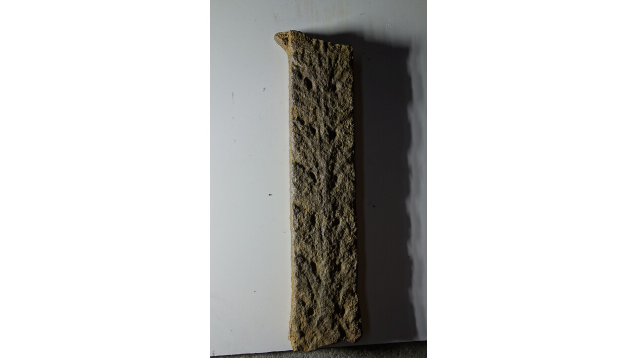
Description
Justification of monument protection
Reference to literature
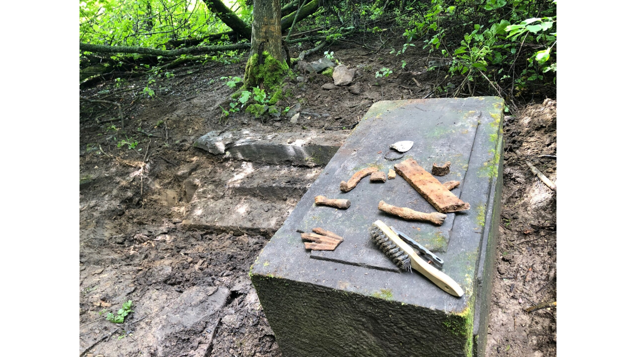
State of conservation of the monument, proposals for measures, if any
Link to photo documentation
Previous and current use, state of development
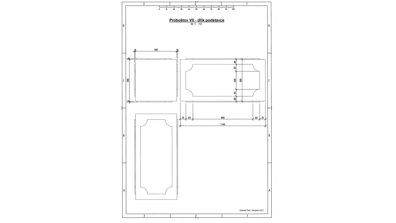
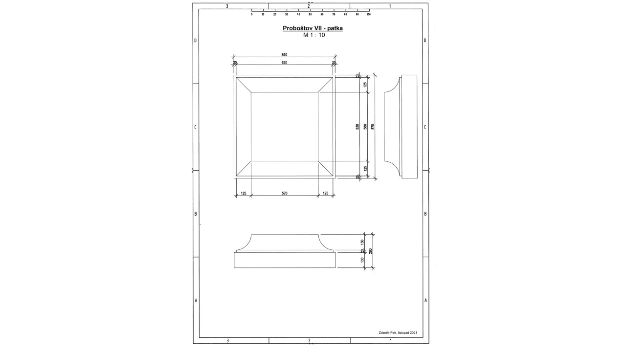
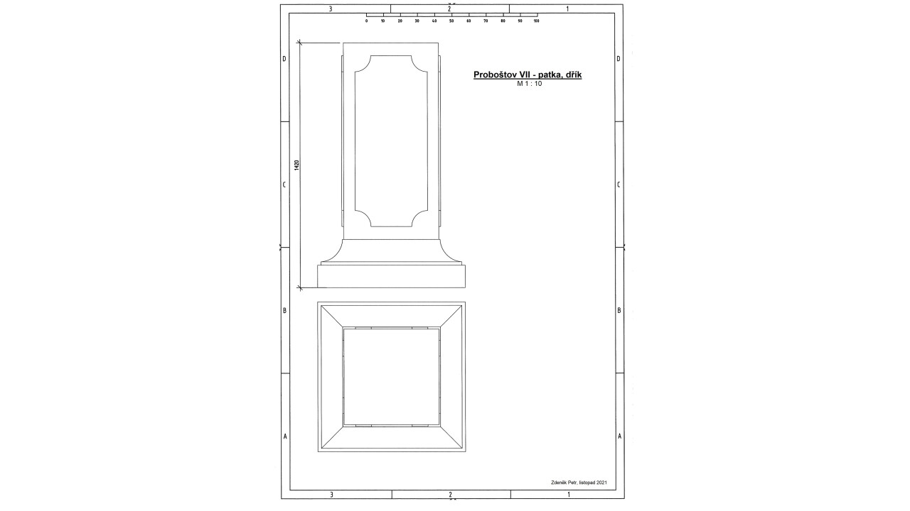
Link to measurement and other documentation
Movable monuments (register numbers)
The registration sheet was prepared by
Notes
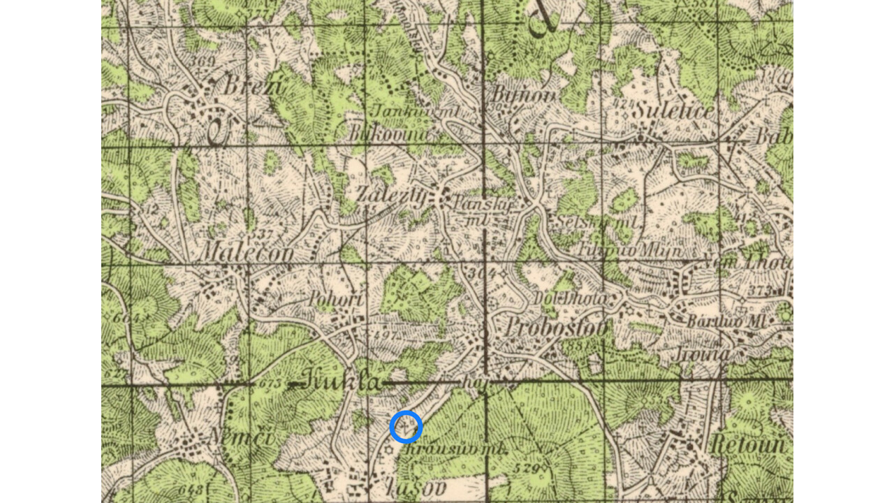
coordinates: 50°37'05.05 "N, 14°08'27.88 "E
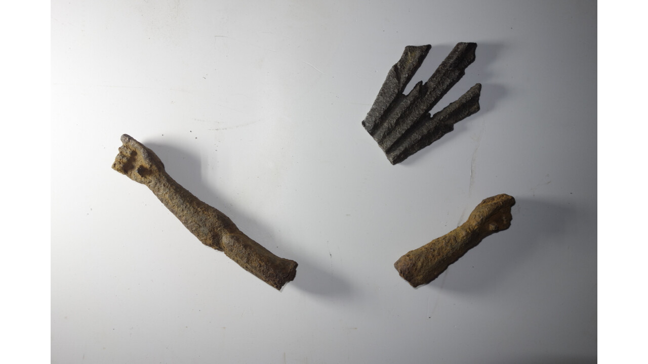
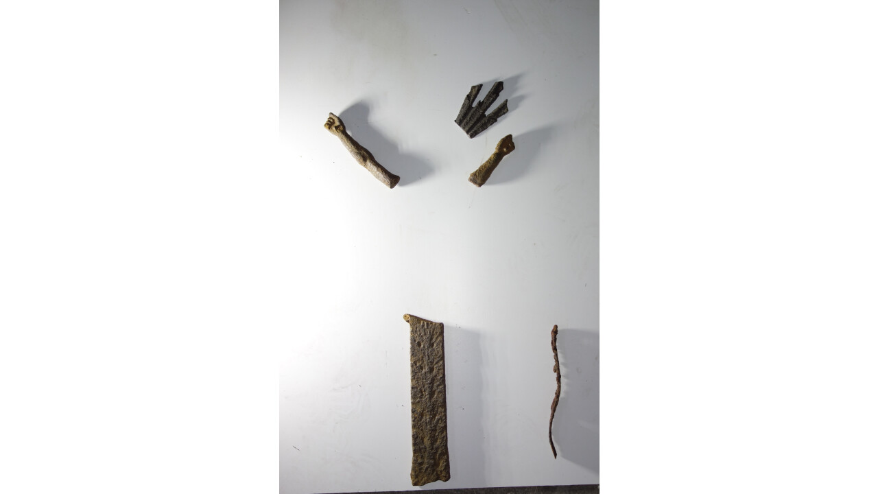
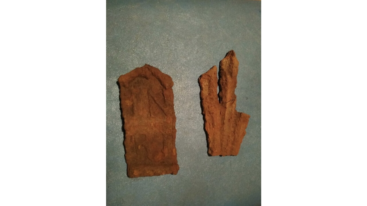
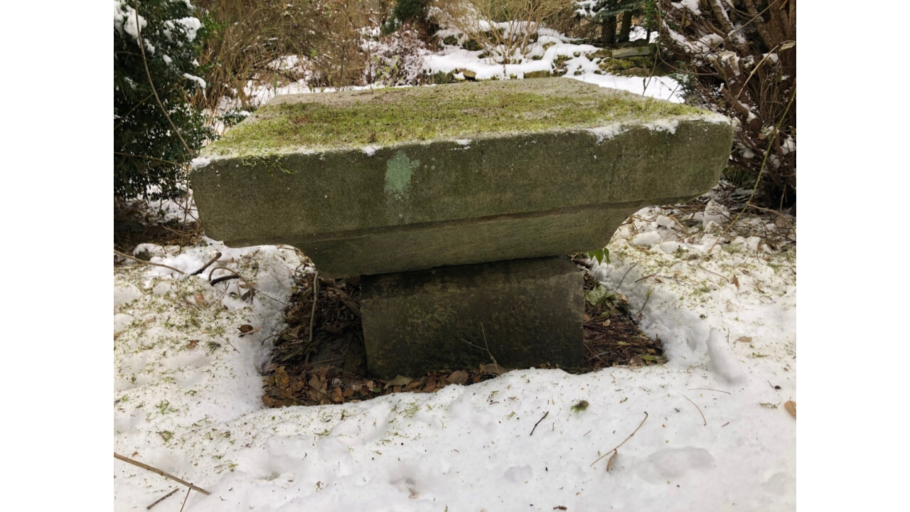
Photo documentation
Drawing on the cadastral map
Measured by geodetic GPS/2020/Petr Hasil (NPÚ ÚP Ústí n. L.)

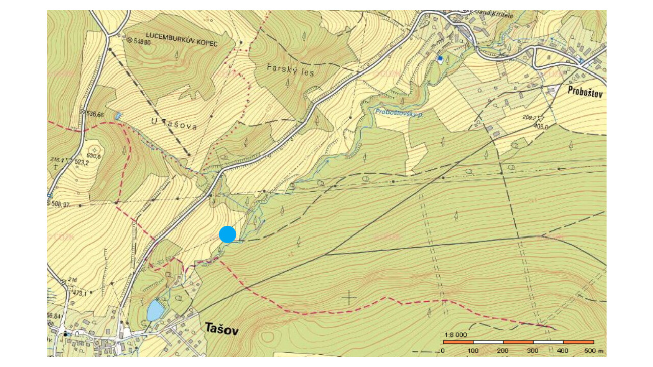
Military mapping (VM) and maps of the Stable Cadastre (SK)
Drawing/drawing